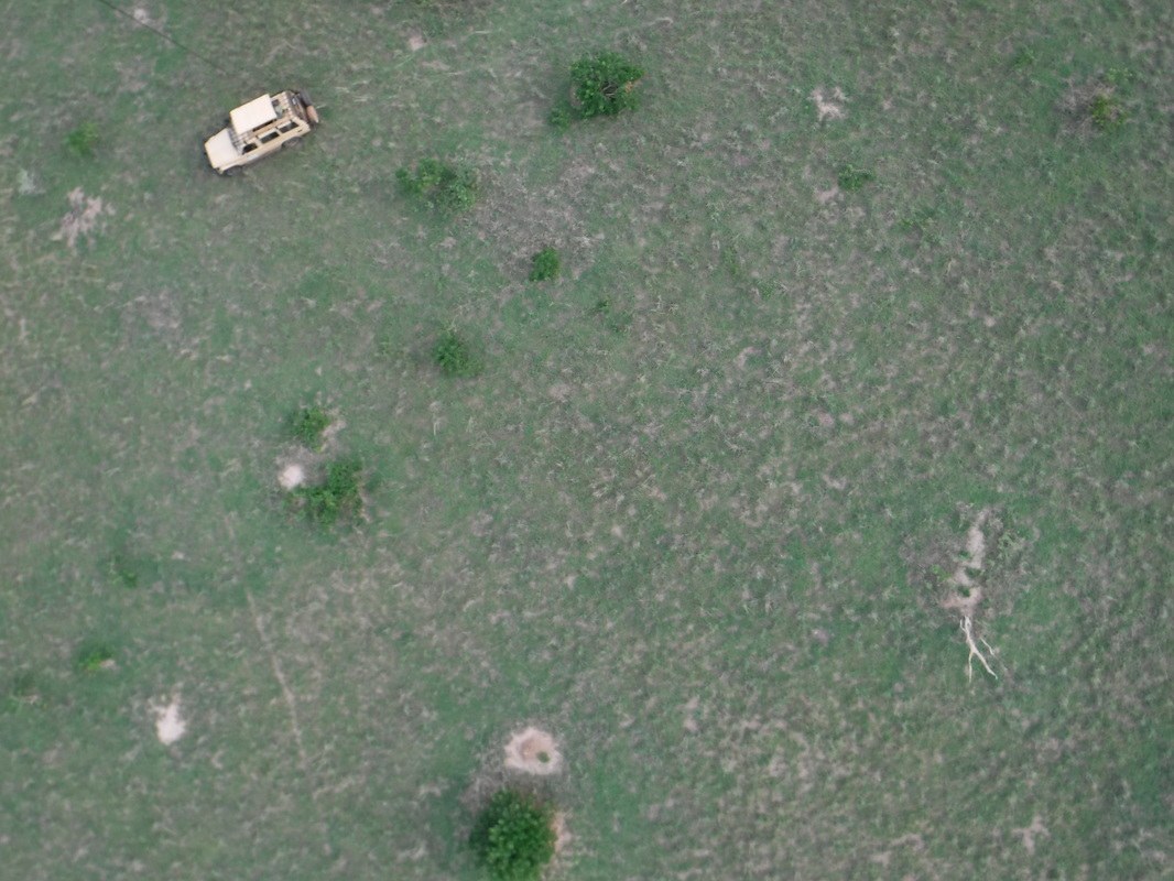
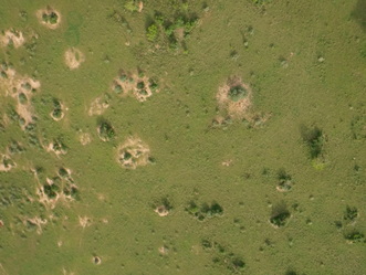
A View From Above: Using Kite Aerial Photography to Understand Giraffe Resource Distribution4/18/2016 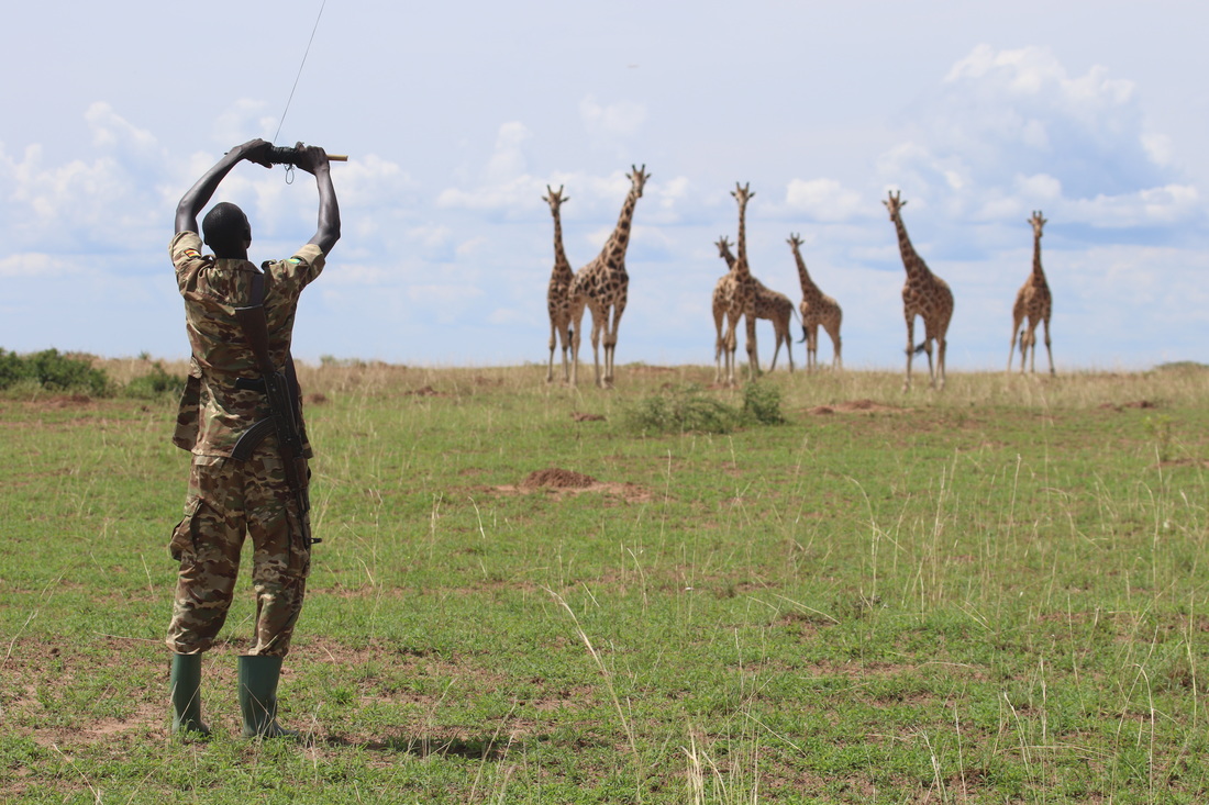 A cool breeze catches the nylon fabric stretched over the 9 foot frame and lifts the kite skyward. This particular kite strains under the additional extra ounces of a FujiFilm FinePix XP80 camera mounted to a picavet rig attached to the kite string. The specialized payload contains a programmed intervalometer which will trigger the shutter every 15 seconds. As the kite is guided around the landscape, it -in theory - will capture images which can then be digitally stitched together to create high resolution aerial imagery of the distribution of various plants over the heterogeneous landscape. Coupled with direct observations of feeding giraffes on the same landscape, this birds-eye view can be used to inform our understanding of how giraffes make foraging decisions in heterogeneous browsing landscapes. 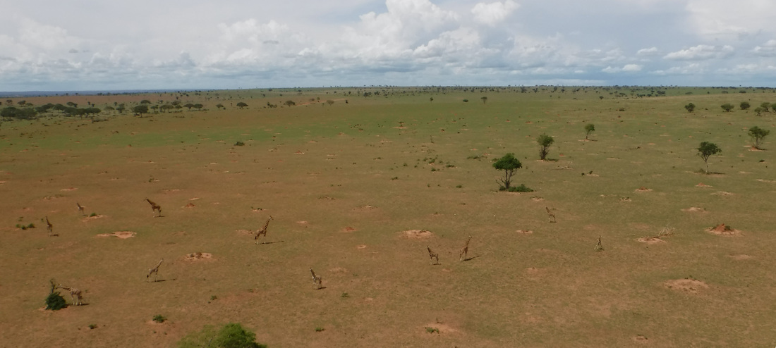 One of the central concepts of optimal foraging theory concerns itself with how foragers move between resource patches of different quality. For these concepts to be empirically evaluated, resources need to be relatively discrete across spatial scales. Since giraffe are nearly exclusively browsers, the savanna-woodland mosaics provides an excellent study system; with discrete trees and shrubs separated by grasses at smaller scales and woodland habitats separated by grasslands at greater spatial scales.
Having demonstrated the value of aerial views in understanding resource distribution, we can then hopefully apply these techniques to more efficient and reliable automated unmanned aerial vehicles to better map the foraging landscape of giraffes. 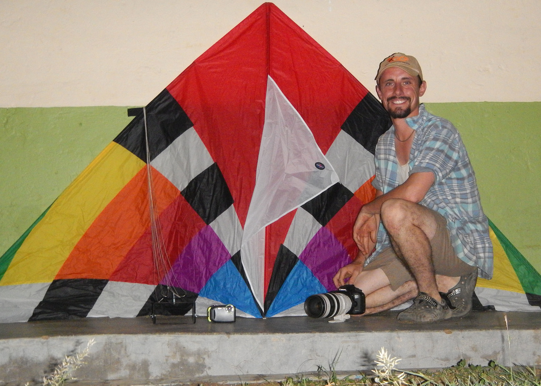  Thanks to the Leiden Conservation Foundation for providing the initial funds to purchase the kite, camera and rigging equipment.
2 Comments
7/18/2017 07:15:25 am
If you are a serious aerial photographer, get The Professional Phantom 3. You will get spectacular photography that can be applied to any type of hobby or business. Comes with 4K video camera that captures 12 megapixel photos. GPS with GLONASS taps into 36+ satellites. Flight simulator lets you become a flying ace before going airborne. It's a great find! Leave a Reply. |
AuthorMichael Brown Archives
December 2022
Categories |

 RSS Feed
